Live Earth Map & Route Planner


Live Earth Map & Route Planner App Info
-
App Name
Live Earth Map & Route Planner
-
Package Name
com.gps.location.live.earth.map.diriving.direction.weather.voice.navigation
-
Developer
Gitola Tech Studios -
Category
Maps & Navigation -
Updated
2026/04/06
-
Version
4.0.0
Live Earth Map & Route Planner
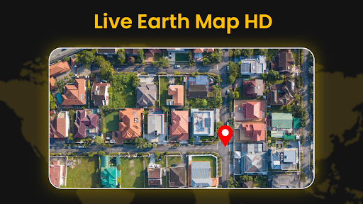
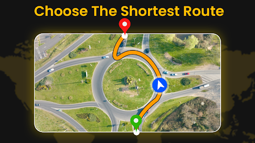
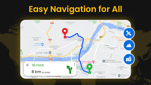
Live Earth Map & Route Planner is an innovative app that provides users with real-time satellite imagery and GPS mapping capabilities. With its advanced technology, users can explore various locations around the world and view detailed street maps and landscapes. The app offers comprehensive satellite views, displaying accurate imagery captured from high-resolution cameras. It also includes GPS navigation features, allowing users to zoom in on specific areas and pan across different regions. Whether for educational purposes, travel planning, or disaster management, Live Earth Map & Route Planner offers a captivating and informative experience, providing a unique perspective on our planet.
Features of Live Earth Map & Route Planner
- Real-time imagery: Get access to live satellite view GPS maps from satellites, providing a real-time perspective of the world.
- High definition experience: Enjoy interactive 3D maps and high-resolution satellite imagery for a detailed exploration of cities, countries, and landscapes.
- GPS navigation: Use the app to navigate and get directions with ease, thanks to its seamless pan and zoom features.
- Educational tool: Live Earth Map & Route Planner serves as a valuable resource for students and researchers, enabling them to study geography, geology, urban planning, and environmental changes.
- Travel planning: Plan your trips and explore potential destinations by using the app to view satellite images and map out routes before visiting a specific location.
- Disaster management: With live satellite street view information, the app can be used for disaster management, providing real-time updates on selected areas.
Review
Live Earth Map & Route Planner is a powerful and user-friendly app that combines live satellite view GPS maps with advanced navigation features. The app offers stunning satellite imagery and detailed street views, allowing users to explore the world in real-time. Whether for educational purposes, travel planning or disaster management, this app provides a comprehensive and informative experience. With its easy-to-use interface and extensive features, Live Earth Map & Route Planner is a must-have for anyone who wants to explore and understand our planet from a live satellite view.